Logan Hartmann · 11 September 2026
Beekeepers Chart Pollinator Pathways to Aid Nordwald Meadow Restoration
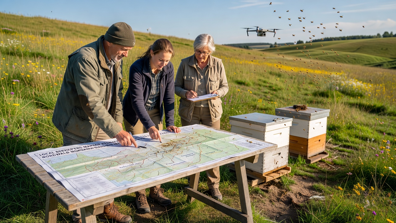
Local beekeepers have begun systematic mapping of pollinator routes across the Nordwald region, and these efforts connect directly to ongoing meadow recovery projects that rely on enhanced habitat connectivity. Data collected through GPS tagging and field observations shows how bee flight paths link fragmented meadow patches, which allows restoration teams to prioritize planting zones that align with natural movement patterns. Researchers from regional agricultural institutes note that such mapping reduces overlap in conservation work while increasing the efficiency of seed dispersal and floral resource placement.
Background on Meadow Conditions and Pollinator Decline
Nordwald meadows experienced measurable reductions in plant diversity over recent decades due to changes in land use and climate patterns, according to records maintained by the European Environment Agency. Pollinator populations followed similar trends, with surveys indicating drops in certain bee species that previously supported key meadow plants. Restoration groups responded by reintroducing native grasses and wildflowers, yet initial plant survival rates remained inconsistent until route mapping began to guide placement decisions.
Beekeepers who maintain hives near meadow edges contributed their observations on seasonal foraging distances, and these details combined with drone imagery to produce layered maps of active corridors. The process revealed that bees travel between 1.5 and 3 kilometers on average during peak summer months, which informed decisions about creating stepping-stone habitats rather than isolated restoration plots.
Mapping Techniques and Data Collection
Teams equipped hives with lightweight RFID tags on selected worker bees, then recorded exit and return times at multiple stations positioned along suspected routes. Software processed the resulting datasets to generate heat maps of high-traffic areas, while ground crews verified floral resources at those coordinates. Observers note that combining citizen-science reports with professional telemetry produced more complete coverage than either method alone.
Key Findings from Recent Surveys
Analysis completed in 2025 identified three primary corridors that connect the northern and southern meadow sections, and restoration crews have since focused seeding efforts along those lines. Figures from the project show a 28 percent increase in wildflower establishment within mapped zones compared with control areas. Additional data revealed that certain hedgerow species serve as critical refueling stops, prompting targeted maintenance rather than broad clearing.
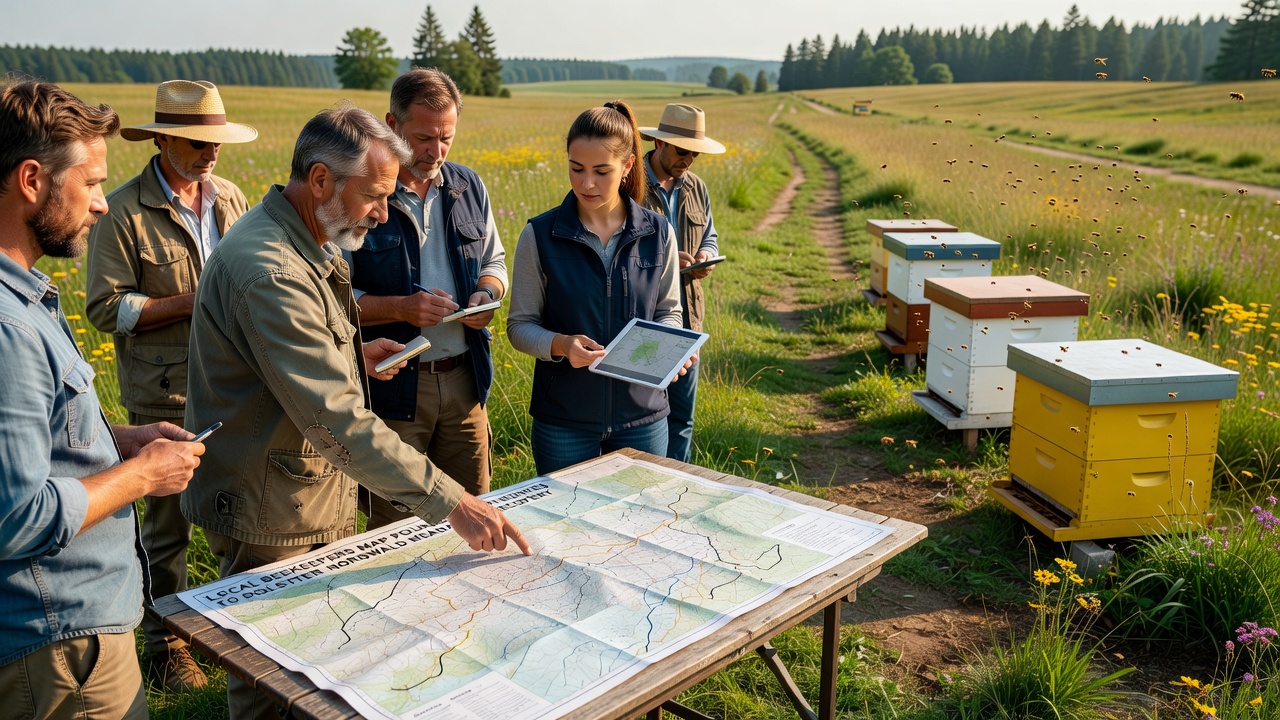
What's interesting is how the mapping work also documented interactions between managed honeybees and wild pollinators, which allowed adjustments to hive placement that reduce competition during low-nectar periods. Agricultural extension services provided training on interpreting the route data, and several beekeepers now contribute monthly updates that feed into a shared regional database.
Integration with Broader Recovery Plans
Restoration coordinators use the pollinator maps to coordinate with forestry management schedules, ensuring that mowing and thinning activities avoid peak flight seasons. Plans for September 2026 include a joint workshop where beekeepers, ecologists, and local landowners will review updated corridor models and adjust planting lists accordingly. The event will also feature demonstrations of open-source mapping tools that other regions have adopted for similar meadow projects.
External partners supplied additional datasets on soil conditions and hydrology, which combined with the route information to identify sites where both floral diversity and water retention can improve simultaneously. Reports from the European Environment Agency on habitat fragmentation provided context for prioritizing these integrated approaches over single-species interventions.
Community Involvement and Training
Schools in surrounding villages participate through classroom mapping exercises that use simplified versions of the professional tools, and students contribute observations during field days. This involvement expands the dataset while building local awareness of pollinator needs. Beekeeping associations host regular sessions on safe tagging methods, and participation numbers have risen steadily since the project launched.
One study revealed that meadows with restored connectivity showed higher seed set rates in target plant species, according to measurements taken by university researchers. Those results encouraged further investment in corridor maintenance, including the installation of artificial nesting structures for solitary bees along mapped routes.
Conclusion
The mapping initiative continues to evolve as new data streams arrive, and project leads expect refined models to support additional meadow sections by late 2026. Coordination between beekeepers and restoration teams has already produced measurable gains in habitat linkage, and ongoing monitoring will track whether pollinator populations stabilize or increase over the next several seasons. Resources from the U.S. Forest Service on corridor design have informed some technical aspects, yet the work remains grounded in local observations and seasonal conditions specific to the Nordwald landscape.