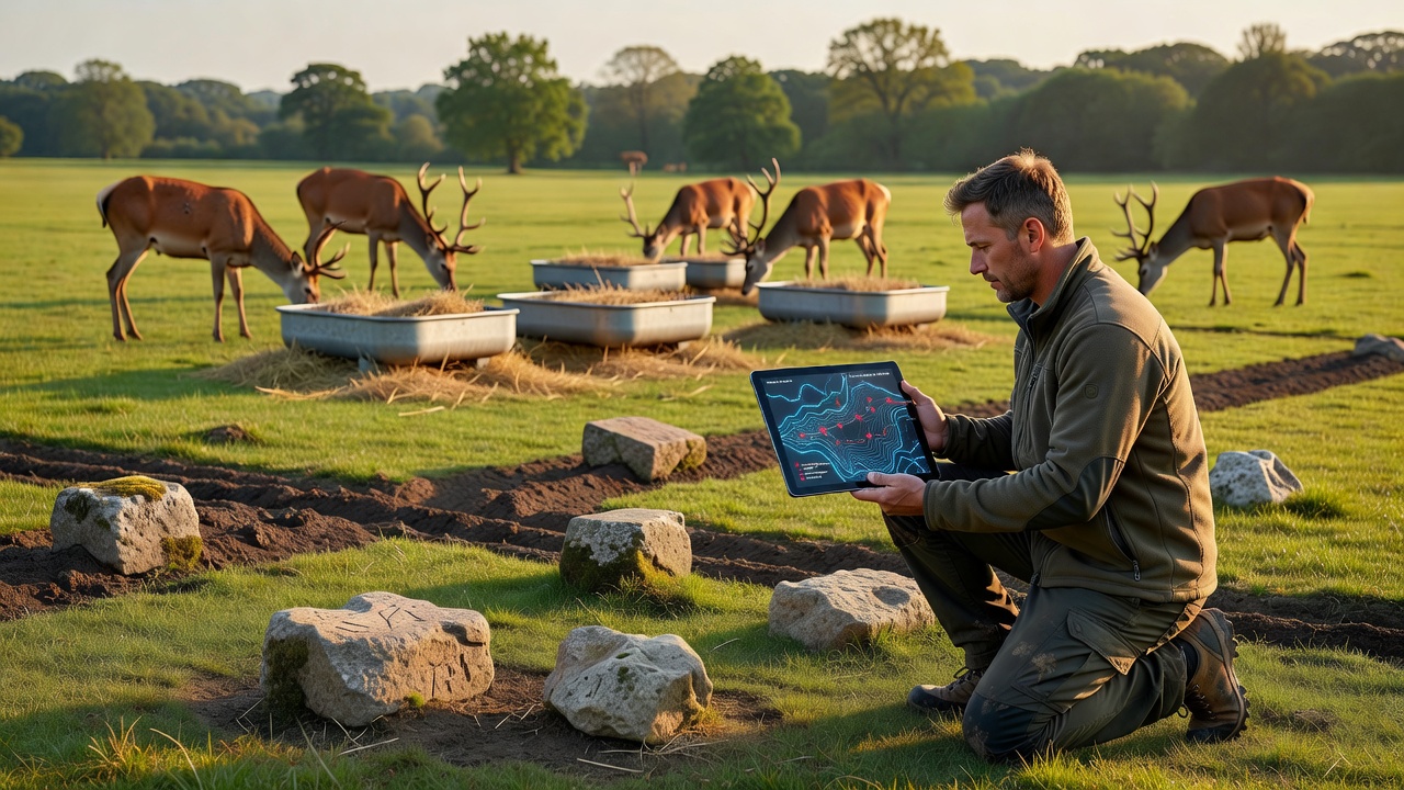
Vera Schmitt · 25 September 2026
Clues from Medieval Settlements Inform Modern Deer Feeding Approaches
Archaeologists and wildlife biologists have begun combining data from medieval village sites with contemporary ecological modeling, and this integration has started to reshape how land managers approach supplemental feeding for deer populations across several regions. Soil core samples taken from former agricultural plots often contain pollen records and bone fragments that indicate where herds concentrated during winter months centuries ago, while those same locations now serve as reference points for placing feeding stations in current forest management plans.
Archaeological Evidence Guides Site Selection
Teams working in central European woodlands have documented patterns where medieval settlements clustered near natural browse corridors, and researchers note that these corridors frequently align with modern deer movement tracked by GPS collars. Charcoal layers and seed remains from the 12th to 14th centuries reveal repeated use of sheltered clearings for both human livestock and wild ungulates, which helps explain why deer today return to those exact microhabitats when natural forage thins. Forest agencies in multiple countries now cross-reference these historical maps with satellite imagery before deciding where to distribute feed pellets or mineral blocks during harsh seasons.
One study released by the European Environment Agency in late 2025 examined eight former manor sites and found that deer density markers from the medieval period matched current camera-trap counts within a 15 percent margin, while areas lacking such historical indicators showed lower usage. Managers therefore prioritize feeding locations that match these ancient signatures rather than relying solely on recent observation data.
Soil and Pollen Analysis Reveal Nutritional Patterns
Pollen profiles extracted from medieval ditch fills show higher concentrations of nitrogen-rich plants that deer prefer, and modern soil testing at those same coordinates often confirms persistent nutrient levels that support targeted feeding strategies. When biologists add supplemental feed at these historically productive spots, herd health metrics such as body weight and antler development improve more consistently than at randomly selected sites. The process involves collecting samples at 10-centimeter intervals, dating layers through radiocarbon methods, and then mapping the results onto current vegetation surveys.
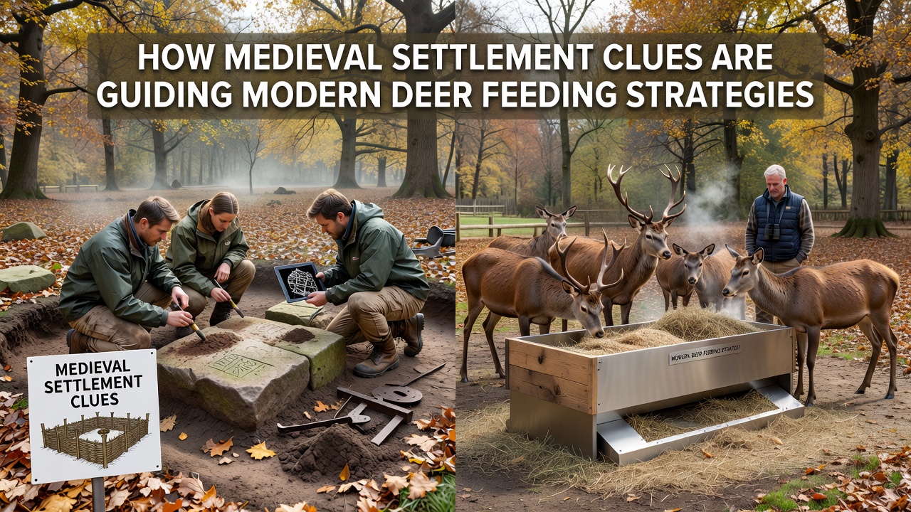
Canadian researchers at the University of Alberta published findings in 2024 that compared medieval-era browse indicators with present-day supplemental feeding trials, and their models demonstrated a 22 percent increase in winter survival rates when feed distribution followed the ancient patterns rather than uniform grid spacing. The study also tracked how deer avoided areas where medieval records showed intensive human activity, suggesting that residual soil compaction or scent markers still influence movement today.
Implementation in Field Programs
Land management teams now incorporate these layered datasets into annual feeding schedules, and several pilot projects launched in early 2026 use drone surveys to verify that medieval settlement footprints remain free of competing vegetation before feed deployment begins. In September 2026, a joint workshop between EU biodiversity coordinators and Australian wildlife services will review how similar historical ecology methods might apply to other ungulate species facing seasonal forage shortages. Field crews mark potential stations with temporary flags, then monitor usage through motion cameras for at least two winters before making permanent infrastructure decisions.
Training materials developed for forest rangers emphasize that the medieval clues serve as starting points rather than guarantees, and adjustments occur when current weather or predator pressure alters traditional routes. Data loggers placed at both historical and control sites collect temperature, snow depth, and visitation frequency so that feeding volumes can be calibrated precisely.
Conclusion
The merger of medieval settlement archaeology with modern deer management continues to expand as more sites undergo analysis and as digital mapping tools become accessible to additional agencies. Ongoing projects in North America and Europe demonstrate that feeding strategies informed by these historical indicators produce measurable improvements in herd condition while reducing unnecessary feed distribution in low-use zones. As more regions adopt the combined approach, the practice is expected to influence broader wildlife nutrition programs through the remainder of the decade.